
Share your story
with user-friendly, interactive maps.
Visually present geographic information that matters.
Looking for a powerful way to illustrate your accomplishments? Show funders, clients, and the public your accomplishments with maps, custom configurable mobile applications and dashboards that tell your story.
While it’s common for organizations to have data and documents sitting around, few people know what to do with it all. We do – and telling your story with the data gives it place, purpose and context. Using today’s geographic information systems (GIS), we design your GIS around your planning and reporting requirements. And convert this information into useful, interactive maps.
Bell Geographic offers automated geographic and geospatial data collection services and custom map creation. We can also manage and host your GIS data, and train you to do it yourself. Let us help you show your progress and activities, and demonstrate your achievements.
Story Maps – When the Message Matters
Interactive story maps powerfully combine images, audio, written text and geographic data. They’re perfect for nontechnical audiences – no special knowledge is required to understand or access them. Easily shared and automated, story maps integrate into websites and social media, too.
Custom Maps – Online or Print
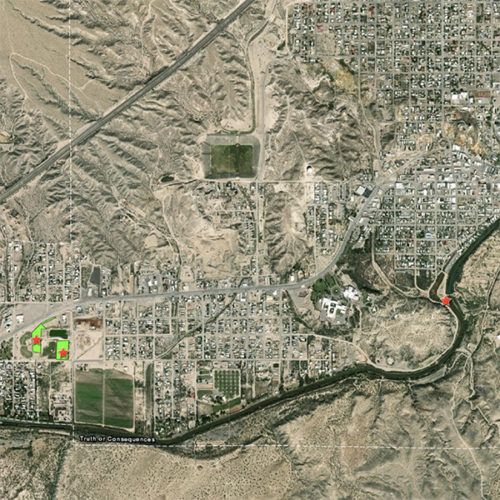
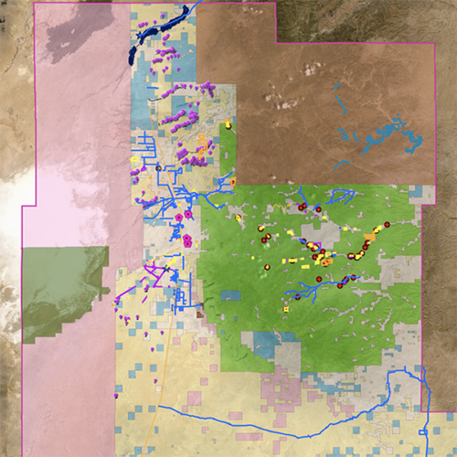
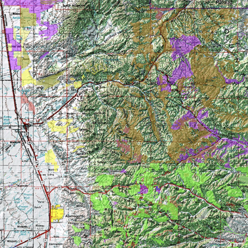
From documenting forest and trail access to fire danger mitigation to community asset management, count on Bell Geographic for your custom mapping. Whether online or print, for outdoor recreation, game management, community or environmental organizations, we handcraft all our maps with precision and accuracy. When clarity, ease of navigation and convenience matter, choose Bell Geographic.
GIS Consulting & Training
Need help managing your geographic data, integrating and analyzing it, and/or transforming it into maps that communicate important information to your stakeholders? You’re in the right place. Bell Geographic’s consulting and training services can help you find the purpose and context for your existing data. Or you can learn to collect and present it yourself.